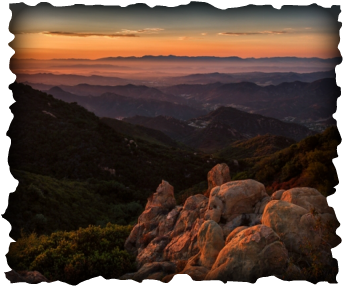
Courtesy of OutdoorPhotography, Jim Shoemaker.
|
|
Samantha LustadoSamantha has been working in the GIS field for over 6 years in industries that include Facilities Management, Defense & Space, Aviation, and Utilities. She has a passion for integrating technology and geography, and hopes to share her knowledge with others. She received her B.A. in Geography/Environmental Studies in 2010 from UCLA with a double minor in Conservation Biology and GIS, and her M.S. from CSULB in GIS in 2016. In her spare time, she enjoys using her salary on worldwide adventures, outdoor sports, playing with animals, dorking out over TV shows/video games, and eating.
|
|
|
|
Acknowledgment
We would first like to thank our applied project advisor, Michael Shensky of the Department of Geography at the California State University of Long Beach. He consistently allowed this project to be our work, but steered us in the right the direction whenever he
thought we needed it.
We would also like to thank the experts who were involved in the development process for this research project:
Cartoon on mapchicks.com courtesy of Celine Deveux.
Map joke on mapchicks.com courtesy of "Geographist".
thought we needed it.
We would also like to thank the experts who were involved in the development process for this research project:
- Dustin Wiersma, Senior GIS Analyst, Joint Base Lewis-McChord Public Works/PowTec Solutions
- Steven L. Cooper, Senior Web Developer, for Mihaylo College of Business and Economics
- Emilio Ortiz, Bioinformatics Engineer
- Janine Yoong, Head of Business Development, Mapillary
- Tamrat Belayneh, Esri
- Susan Tran, Esri
- Brendan Clarke, GIS Technician, Santa Monica Mountains National Recreation Area
- Dr. Suzanne Wechsler, Associate Professor, Department of Geography at the California State University of Long Beach
Cartoon on mapchicks.com courtesy of Celine Deveux.
Map joke on mapchicks.com courtesy of "Geographist".
